Home --> Karoo --> Carnavon 

 Carnavon

Location Carnavon: 63km north of Loxton and 147km west of Britstown on the R384.

Region: Karoo

Nearby Towns: Vosburg, Britstown, Loxton, Williston, Van Wyksvlei

Communities of Xhosa moved up to the Orange River as early as 1795. One group subsequently settled at Schietfontein, which was served by a Rhenish mission, and a village named Harmsfontein was established in 1860. 

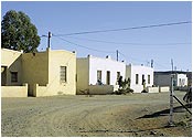
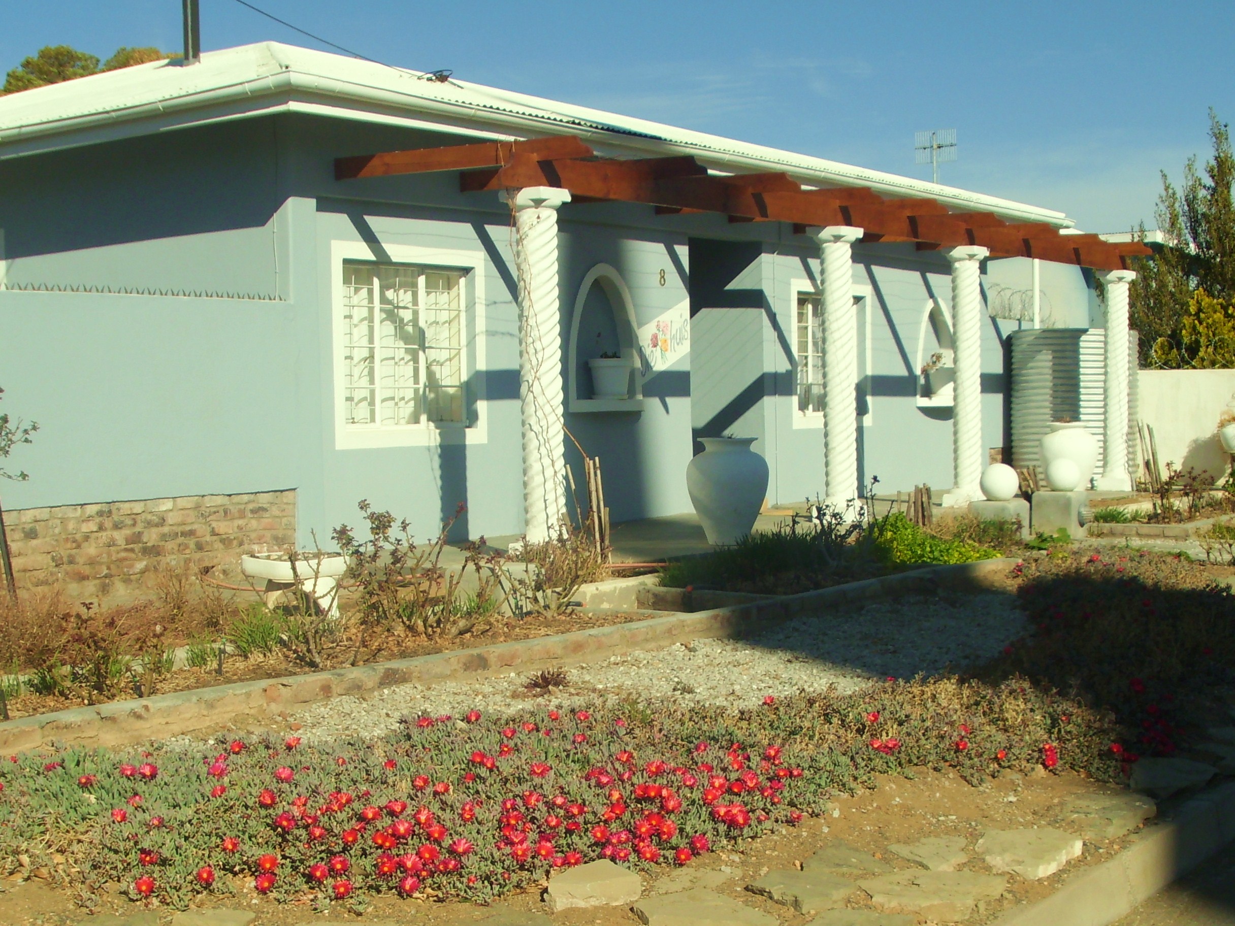
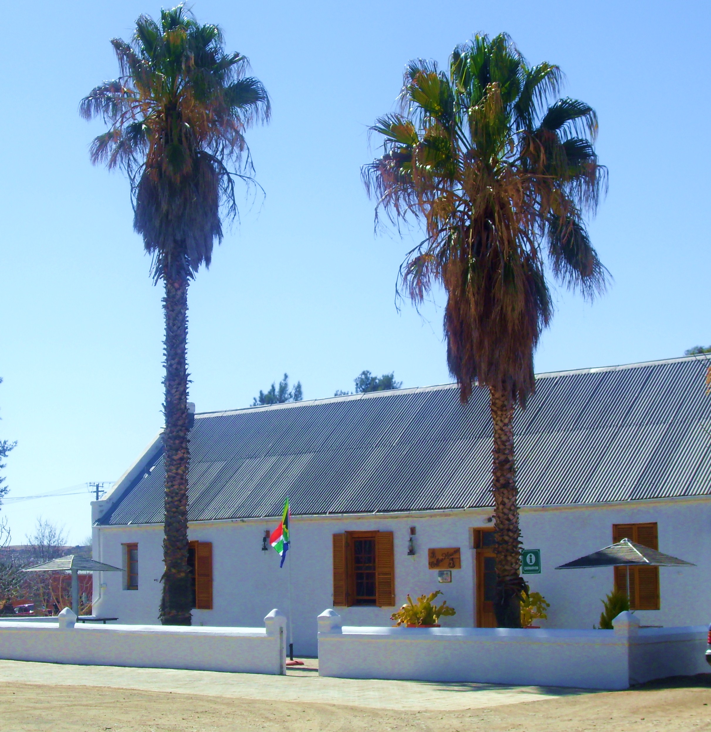
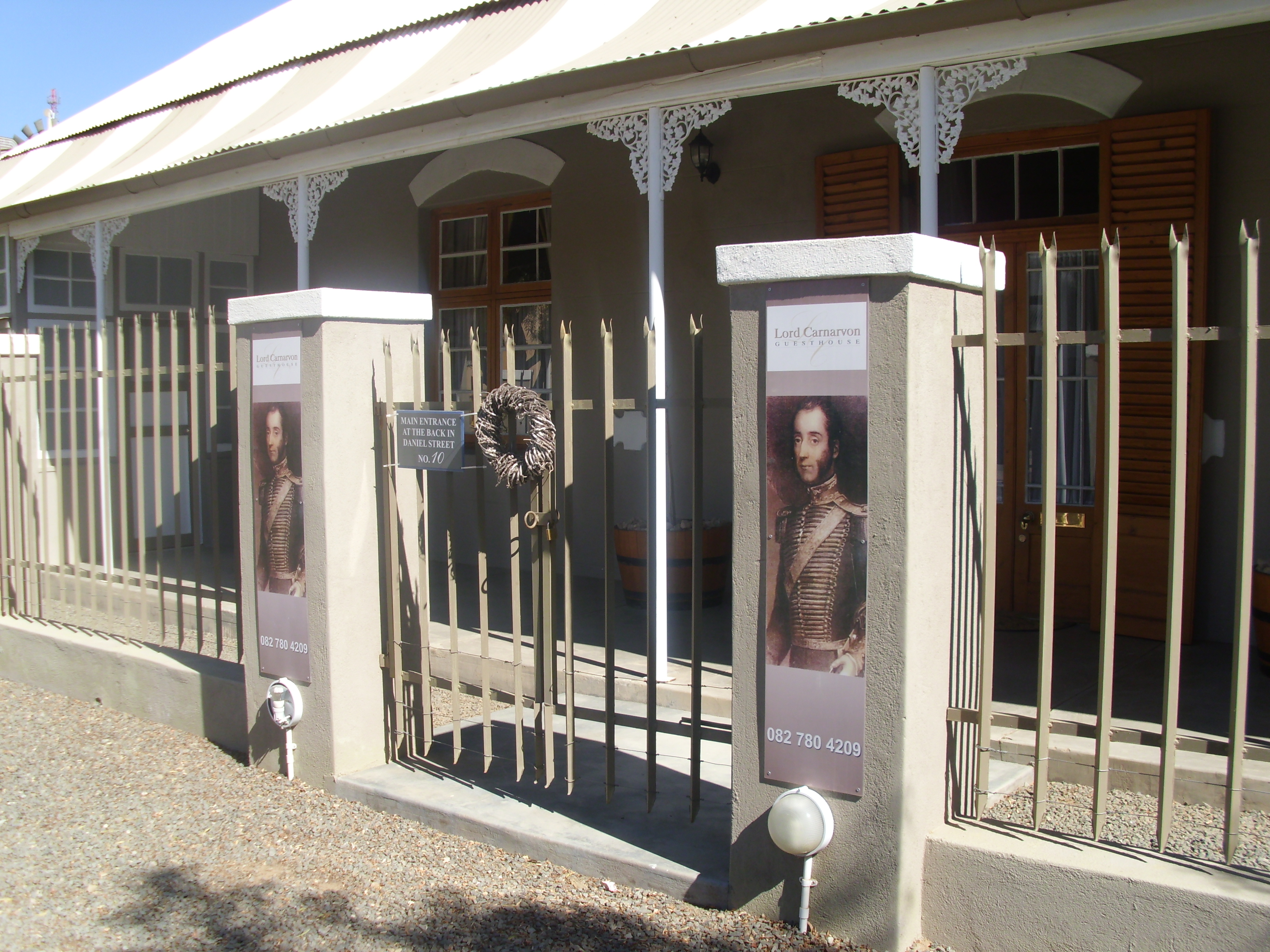
In 1874, it changed its name to honour the British Colonial Secretary, Lord Carnarvon. The district is well known for its corbelled houses, built between 1811 and 1815. Carnarvon is set among flat-topped hills and is one of the region’s busiest farming centres.

Map Carnavon: 

Location Carnavon:

Accommodation Carnavon 


Explore Carnavon 

Square Kilometre Array (SKA)
Blikkiesbar
A large collection of beer cans and whiskies can be seen at the Carnarvon Hotel.
 Brick Yard 
A donkey and man combine forces to produce bricks.
 Corbelled Houses 
Small domed roofed houses built of flat stones for lack of wood for roof trusses by the Trekboers. The cement was a mixture of chaff and soil mixed with water and kneaded to the correct texture. Floors were of smeared earth coloured a rich red by a mixture of fat and oxblood polished with a smooth stone.
 Fort
On top of Carnarvon Koppie and used between 1899-1902, the only one in the region.
 Museum & Corbelled House
Old Church Hall.
Nature Reserve
A wide variety of wildlife can be seen.
Tortoise Reserve
60 Mountain tortoises can be found here. Some respond to their name and will come for a titbit when called.