Home --> Destination --> Namakwa --> Sutherland

 Sutherland

Location Sutherland: 120km north of Matjiesfontein (turn-off from the N1) on the R354 and approximately 135km south of Calvinia 

Region: Namakwa

Nearby Towns: Fraserburg, Calvinia


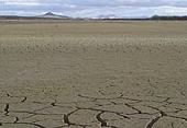
Established in 1858 and named after a prominent Worcester cleric, Reverend Henry Sutherland, the town on the Roggeveld Plateau 1 450m above sea level is known for its brilliant night skies and cold, biting winters, known to be the coldest place in SA. 

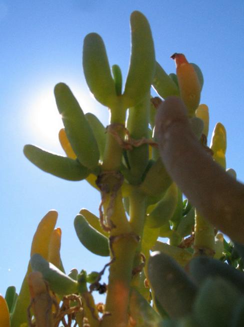
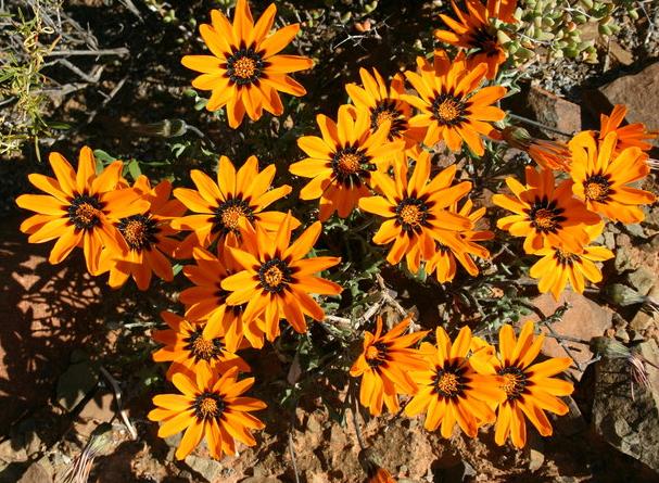
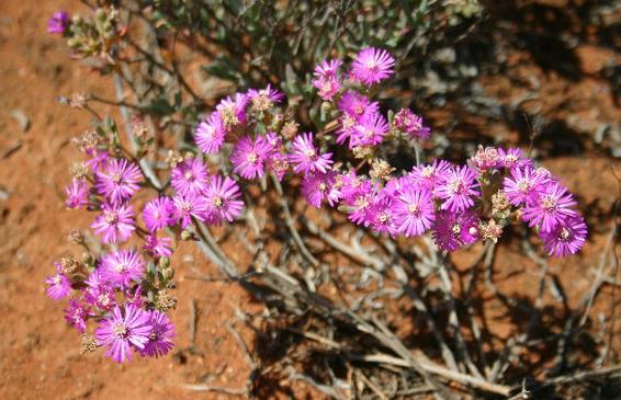
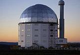
The ‘sterboom’ (star tree), which blossoms in September is found on farms in the region. Birthplace of Afrikaans author and poet NP Van Wyk Louw, the town is said to produce the finest mutton in the country and is home to the world-renowned South African Astronomical Observatory. The region is also home to the endangered Riverine Rabbit.

 Location Sutherland:

Map Sutherland: 

Accommodation Sutherland 

 currently unavailable

see available accommodation

Explore Sutherland

South African Astronomical Observatory 
18 kilometres out of town The observatory houses ten telescopes one being ‘SALT’ (Southern African Largest Telescope) which can observe a candle flame on the moon.
 Dutch Reformed Church 
Built in 1898. In 1901, the town was taken by the British and their graffiti are still legible in the church.
Brackenroof Houses 
Houses with walls built of sun baked bricks and roof trusses cut from tree trunks and covered with reeds. Then the entire reed roof was plastered with clay. Today they are commonly known as clayroof houses. 
 Graves
Old Jewish and British graves as well as handmade gravestones. One British soldier has two graves!
Indigenous Flora 
The sterboom, olifantspoot (elephant’s foot), Daubenya Aurea and Secale Africanum, the wild rye from which the Roggeveld gets its name.
Louw Museum 
The two famous Afrikaans poet’s writers NP van Wyk Louw and WEG Louw were born in this very same house. Together they achieved 6 Hertzog prizes for literacy. Several displays are to be seen. 
 NG Church 
Designed by Charles Freeman who also designed the Dutch Reformed church of Graaff Reinet and the Standard Bank in Cape Town. During the Anglo-Boer War, the church was invaded for 8 months by the British troops. Filled to capacity, it can seat 1 200 people. 
Ouberg Pass 
±45km on the Upper Fish River Road. Panoramic view of the lower-lying Karoo where one is able to see the Ceres Karoo Mountains about 200km away.
Planetarium Highway 
Showing the connection between Sutherland and the Observatory plinths for the nine planets of the solar system were built to scale. They were chiselled from local building stone and put along the main road. On each pedestal the size of the sun is represented by a black disc and the size of the planet is represented by a small disc in the middle. This project is generally known as the mile of stars. 
Salpeterkop 
The last active volcano south of the equator is to be found close to the observatory. It was active 66 million years ago. 
Silhouette Hiking Trail 
On the farm Ezeljacht, 20km out of town north on the R356 towards Calvinia. Enjoy a scenic two day hike. 
Skurweberg 
Besides the exciting Verlatenkloof 4x4 farm routes they also have hiking and biking trail with ample lodging and beautiful scenery. 
Verlatenkloof Pass 
Coming from Matjiesfontein this 15km pass climbs nearly a 1 000 metres. It was designed by Thomas Bain, the son of the famous Bain who built Bainskloof Pass near Wellington.